
From Texas Public Radio:
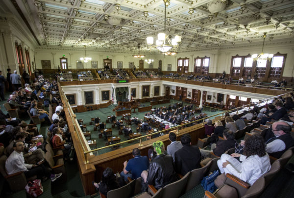
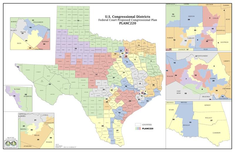
Large swaths of the state from Dallas to San Antonio out towards El Paso have had their congressional and state House districts disputed since 2011. That’s when the state’s Republican-led legislature re-drew the maps. The Texas Constitution requires the state legislature re-draw these districts after each census, to make sure these geographic boundaries contain the same amount of people.
Minority advocacy groups did not like those 2011 maps, and said they were deliberately designed to negatively affect African American and Latino voters. Cue lawsuits, court battles, and then just last month a panel of federal judges ruled three Texas congressional districts were illegal.
So after all these years, it’s not surprising many Texans feel like Lelena Fisher, a graphic designer from Austin. Here’s what she told us:
“I’ve been wondering about the status of Texas’ redistricting? With all the drawn and redrawn maps, the court cases and all the time that has passed, it’s easy to lose track of this fundamental important issue, Fisher says.
To understand where we’re headed, let’s look at where we’ve been. Minority advocacy groups sued the state in response to the maps the Texas legislature approved in 2011.
But the 2012 election was just around the corner, so a federal court implemented its own interim maps. The legislature liked those maps, and officially adopted them during the 2013 legislative session.