From Texas Public Radio:
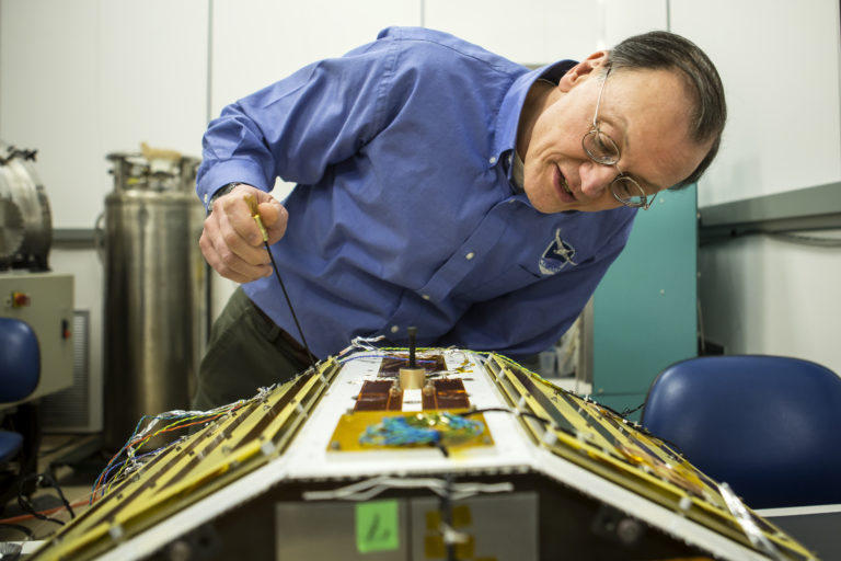
Our understanding of hurricanes is about to take a huge leap forward thanks to San Antonio-based Southwest Research Institute. The groundbreaking work is being done by satellites SwRI describes as being able to fit on your desk.
CYGNSS or the Cyclone Global Navigation Satellite System is an eight-satellite constellation that was launched in mid-December.
CYGNSS Project Systems Engineer Randy Rose says the past 50 years have seen hurricane tracking technology improve accuracy by as much as 300 percent. But forecasting intensity has been left behind without measurable improvement.
“We know well where a hurricane is going. We just don’t know what it is going to do when it gets there. Katrina is a good example. They expected a strong hurricane, but they did not expect the storm surge that came with it,” says Rose.
Heavy rain distorts modern monitoring, keeping wind speed hurricanes a mystery.
“Up until now, up until CYGNSS, they did not have the wind speed data under a hurricane. They were only able to use the Hurricane Hunters,” he says.
Hurricane Hunters are specially outfitted Air Force planes that have to literally fly into a hurricane.