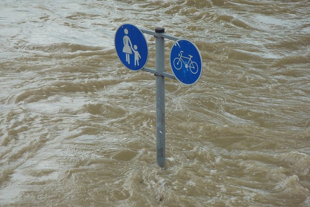
Up until now, the general philosophy has been that most flooding on the Gulf Coast comes from storm surge – or rising sea waters. What’s a storm surge exactly?
“A storm that is blowing very hard on the ocean floor for a long period of time, we are used to it whipping up waves, what happens over a period time, those waves just keep piling on top of each other and they are essentially pushing the water up onto the land,” Union of Concerned Scientists climate scientist Brenda Ekwurzel says. “So it’s much higher than a high tide for example. And we’re talking storm surges that can be 10 feet, 12 feet, sometimes higher, which can be a problem for coastal infrastructure that has just been designed for high tide, or the highest tide of a certain year, or even storms of a century ago.”
In 2008, Hurricane Ike’s storm surge was over 20 feet and caused over $25 billion in damage. But a new study suggests there’s something more than just storm surges we should be paying attention to in the future.
“The highest storm surges in this area are often caused by tropical cycles and hurricanes which also bring lots of rain,” University of Florida guest researcher Dr. Thomas Wahl says.
Wahl and his team of civil engineers studied tidal and precipitation gauges and found it’s actually the combination of heavy rainfall and storm surge that may be the concern of the future.
“We find that the correlation between rainfall and storm surge is significant. It is more likely that the two occur together than they do not,” Wahl says.
So what if the two were to occur together in say the Houston Ship Channel?
“That could be a special problem in the ship channel, because there is so much infrastructure there with oil refineries and chemical plants, so there is a potential threat not only of high levels of water spreading in there, but high levels of contaminated water if we have tanks or pipes bursting that contain oil products, we could have a toxic storm surge which is sort of a nightmare scenario for that part of Houston,” Texas State Climatologist John Nielsen-Gammon says.
Corp of Engineers risk expert Ed Link chaired a task force evaluating the performance of the Hurricane Protection System during Katrina. He says it can be hard to predict the breadth of damage from a storm surge.
“There’s so much uncertainty, we were using the largest super computers in the department of defense to model these hurricanes for Katrina in New Orleans, even if you go to that extent, you still have an enormous amount of uncertainty in predicting just what might happen,” Link says.
But the Gulf Coast is taking preventative measures after lessons learned from Hurricane Ike.
“We are currently doing alternatives analysis and developing costs to those various structures, the Ike Dike structure, the Texas A&M structure both with and without a gate, trying to get elevations and modeling standards from the corp of engineers, particularly targeting Texas cities and the energy industry,” president of the Gulf Coast Community Protection Recovery District Robert Eckels says.
They are working on a study of the six-county region of Harris, Brazoria, Galveston, Chambers, Jefferson and Orange. They hope to find a cost-effective and efficient system of flood damage reduction and storm surge suppression measures to help protect the six-county region from compound flooding caused by the next big storm surge.
As organizations aim to better prepare coastal communities for dealing with compound flooding caused by the next storm big storm surge. Texas Climatologist John Nielson-Gammon says everyone should remember the Texas coast is vulnerable and people need to keep an eye on hurricanes every summer.


