Researchers have identified a previously undiscovered aquifer in southwest Texas.
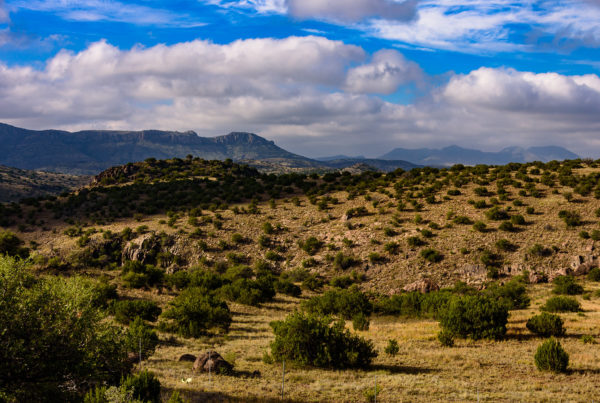
The Maverick Aquifer, as it’s been named, lies more than a mile deep under parts of Maverick, Uvalde, Dimmit and Kinney Counties. Larry French, director of the groundwater division at the Texas Water Development Board, spoke to Texas Standard about its potential significance to the region’s people and economy. Listen to the full interview in the audio player above.
This interview has been edited lightly for clarity.
Texas Standard: Tell us about this newly identified aquifer. I understand it’s already been given a rather dramatic-sounding, and very Texas-sounding name.
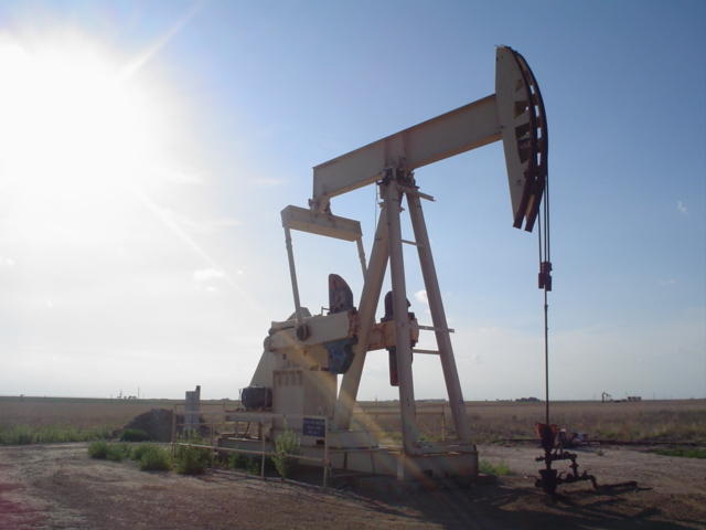
Larry French: Yes, we’ve been calling it the Maverick Basin Aquifer, and it was discovered really by accident. There was an oil well that was being converted to a water well and this was being done with the Texas Railroad Commission. And as those tests were being done to make that conversion possible, lo and behold, the water that was being produced from approximately a mile deep turned out to be quite fresh, which was quite surprising.
Does this mean more water for agriculture for nearby cities? What’s the potential impact here?
Well, all of that’s very, very possible. We’re very much in the early stages of really trying to understand the extent of this aquifer – how much water could be produced from it. Of course, It’s pretty deep, so that makes it somewhat of a challenge. But like you mentioned, it’s a water challenged area. So any kind of discovery like this, which opens up some possibilities, warrant, some additional research and understanding.
Do you have any sense of its size? You mentioned this deep, but is there anything to compare it to? I think a lot of folks in Central Texas, for example, know about the Edwards aquifer?
Well, from what we know now, it looks like it probably extends extends over probably a couple of counties. In addition to Maverick, we also believe it would extend westward across the Rio Grande into Mexico, where we think the fresh water is really originating from. So it could be a pretty decent size, but we’re still getting information on that.
If it extends into Mexico, does that complicate getting water from the aquifer or not so much?
Well, it might a little bit. We’re still understanding that and there are other aquifers in Texas that we share with Mexico. But we would certainly want to understand the relationships of how the water moves across the area and so forth. So it’s yet to be really determined.
So does this raise the prospect that there might be other significant aquifers underneath Texas that we just haven’t discovered yet?
It’s certainly open to a possibility. Texas is a state that has a lot of holes drilled into it and we understand a lot, but we’re always being challenged by new discoveries and understanding the limits of the aquifers. So there’s always possibilities for future discoveries and additional resources.
So what happens next? Is this something now that researchers begin to explore further?
We have here at the Water Development Board, a team that specializes in looking at deeper resources, deeper aquifers – typically salty water – but they’re well equipped to look into this. And we’re also cooperating with other organizations such as the Railroad Commission, for example, the [Jackson School of Geosciences at the University of Texas at Austin’s] Bureau of Economic Geology. And we have been holding regular kind of coordination meetings, kind of understanding what each organization, each team and each scientist, can kind of bring to the table. So we’re working together with a pretty good group of people on this one.
I was trying to think of some of the other implications that people haven’t quite started to weigh. I would think that this could lead to potential new restrictions and regulations when it comes to things such as development. No?
Well, it’s certainly possible. Maverick County does not have what we call a groundwater conservation district, so there’s no current management of resources, because there hasn’t been one, really. If there was an aquifer discovered that’s economically viable, that could lead to maybe the creation of a district that would have some authority to manage and regulate groundwater withdrawals, and so forth. That’s pretty far down the road at this point. We’re still trying to understand what the nature of the resource is,
At what point might it be possible for this aquifer to be tapped and actually used as one of the major water resources in the state?
Well, that’s a it’s a good question. We’re actively working on getting information and data on it. That’ll probably take a year at least, maybe longer. Of course, some of these wells are already flowing with fresh water, and the owners of those wells can be using the water, probably for irrigation or maybe some other purposes, but it’s probably a couple of year process. I would estimate
How often does a discovery like this come along to your knowledge?
Not very often. Of course, the state has been well-characterized with its water resource groundwater resources. The last time we really classified a new aquifer was back several years ago in north central Texas – something called the Cross Timbers Aquifer, which is a pretty big area, kind of west of Fort Worth, north of Abilene. And that went through a process to identify it as a as a groundwater resource. And then that set in motion a series of processes to get it integrated into the state water planning process. I would anticipate that could happen as well in the Maverick County area.
This story has been updated to correct an error. The guest incorrectly stated that the Bureau of Economic Geology was part of the Texas Water Resources Institute; it is not. It’s part of UT-Austin’s Jackson School of Geosciences.


