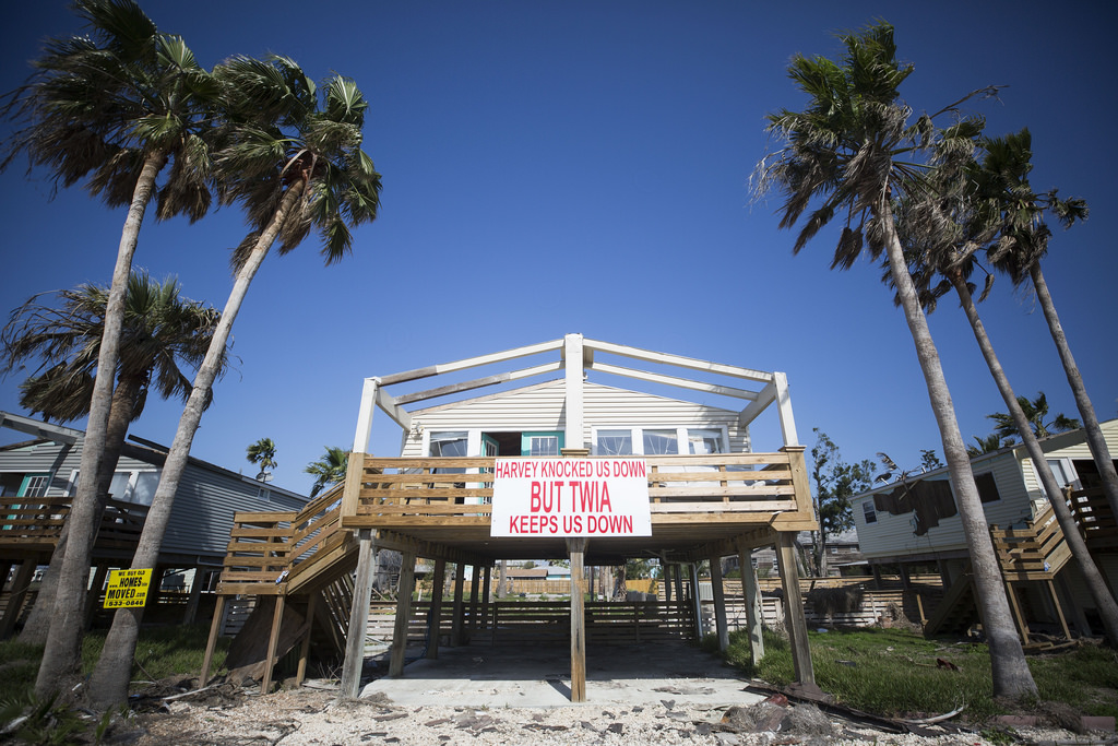
Hurricane Florence is bearing down on the Eastern Seaboard, brining echoes of our own recent experiences here in Texas – think Hurricane Ike which hit 10 years ago yesterday and, of course, Harvey, which hit this time last year. Indeed, this new storm bears quite a resemblance, says Matt Lanza, managing editor for Space City Weather, a Houston meteorology blog.
Lanza says in terms of threat, Florence lies somewhere in the middle between the two Texas storms. It’s like Ike in that it has hurricane-force winds that are up to 100 miles offshore, and it’s like Harvey in that it is expected to stall once it reaches the coast and “dump copious amounts of rain in the Carolinas,” Lanza says.
While these three storms may not be enough to determine any new climate or weather trends, Lanza says a lot of research has been done since Hurricane Harvey, and more will likely be done after Florence. He does say something seems to be amiss here with these recent storms.
“You could even make a case that Hurricane Sandy had kind of a similar sort of pattern that helped drive it and make it more intense and devastating as it was in the Northeast,” Lanza says.
He says climate researchers are trying to figure out these patterns so they can better predict future storms, but that it’s been challenging.
One particularly threatening aspect of Florence – and Harvey, for that matter – is its stalling once it reaches land. Lanza says air currents like the jet stream often pick up hurricanes and push them out to sea. But periodically, a specific weather pattern is set up so that no larger currents pick up the storm, and it gets trapped.
“It can’t move and that’s essentially what’s happening here,” Lanza says. “What happened with Florence is the high-pressure area built [in] the atlantic Ocean … [and] it essentially blocks the exit route for Florence.”
Lanza says Florence is expected to stay in the area until Monday or Tuesday until the pattern changes.
Lanza also says it’s worth investigating any possible changes in the jet stream to see if that’s having an effect on hurricanes.
“It merits a lot of research because ultimately, hurricanes are steered by what’s happening generally in the jet stream – what’s happening a few-thousand feet above the surface of the earth,” Lanza says.
When it comes to media coverage of hurricanes, Lanza says it’s mostly helpful. He says the coverage of Hurricane Harvey last year influenced people to take more seriously the threat of Hurricane Florence, this year. In essence, Harvey was a cautionary tale.
“You have a very visual case … that’s fresh in everyone’s mind, and that can help with preparation,” Lanza says.
Lanza says having these big storms so close together in time “makes it real” – it makes people take the threat more seriously. He says there’s always going to be a proportion of people who, for various reasons, decide to stay and weather the storm, but now they may better understand the risks.
Written by Caroline Covington.