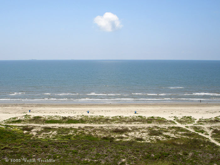
If there’s one resource Texas can’t get enough of, it’s sand.
According to the Texas General Land Office, about 80% of the state’s Gulf shoreline is critically eroded. And that’s a problem because beaches play an important role in protecting the state from storms and rising seas.
So what can be done other than trucking in or pumping in more sand?
That’s what John Goff is hoping to figure out. He is a coastal geophysicist at the University of Texas Institute of Geophysics. This week, he took time to talk to the Standard as he and a team boarded a research vessel in Galveston to search for more sand deposits.
“We’re about to do a geophysical survey offshore of Galveston and an area that used to be a river valley that was exposed. But eventually, after seas rose and covered it up, it became the sea floor and buried beneath the sea floor,” he said. “So we’re going to use our acoustic energy to try to image it kind of like an X-ray of the sea floor.”
His group is trying to find the less-than-obvious sand deposits that are now buried under a lot of mud.
“We’re really doing what we call reconnaissance,” he said. “We’re collecting data in areas that haven’t really seen a lot of data collection in the past and trying to find those areas that are most promising for future exploration and eventually dredging and and use it for purposes such as beach nourishment.”
Once new sand sources are located, it would be up to agencies such as the Texas General Land Office or the U.S. Army Corps of Engineers to do a followup engineering study which would examine the location for possible extraction, using a dredge.