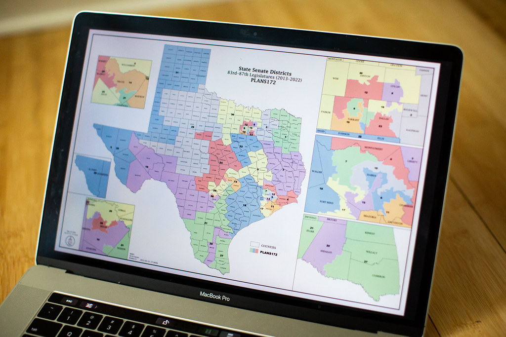
Redistricting used to create compact, contiguous, and equally-populated districts. But, today, as one Texas political strategist puts it, districts in Texas look like someone gave a snake a Sharpie and let it loose all over the state’s map.
Adam Podowitz-Thomas with Princeton University’s non-partisan Gerrymandering Project and with the Princeton Electoral Innovation Lab says that’s a problem.
“I mean, I think it’s a little cliché at this point, perhaps, but redistricting is the
process by which… legislators are picking their constituents rather than the other way around,” he said. “Which then obviously skews the way the laws are written and the way that laws are passed because if communities are unfairly represented, nobody’s really listening to their voices.”
In Texas, public input is allowed. So could average citizens do a better job of drawing these maps? Podowitz-Thomas says citizens with the right tools can.
“We try to encourage folks to understand they actually already have all the tools [they need]: they know about their communities, they know about the state that they live in, they know what fair representation would actually look like,” Podowitz-Thomas said.
So, what would make for a good map? Podowitz-Thomas says it has to do with outcome but also process.
“So, for us, a map where the public was able to engage in the process of drawing and in the steps that were taken that lead to the ultimately selected map,” Podowitz-Thomas said. “We also care a lot about maps being representative of the communities that they’re seeking to – in some way represent… whether that be through redistricting commissions or even in legislative maps when the process is really open and citizens can actually participate.”
As far as actual hands-on tools, Podowitz-Thomas recommends a few.
“Things like [the] redistricting [tool called] Maptitude… The other tool that we’ve put out there that we think is really important is something called Representable.org,” Podowitz-Thomas said. “And on the website, people can draw what are known as communities of interest… and then you get the what we call a shapefile, which is the actual file that the legislature will use to draw maps. And so, you can download that file and submit it as public comment directly to the state legislature.”
Podowitz-Thomas says the comments platform is already open for Texans.
“There’s an opportunity to just literally attach that file to the legislature for their consideration. And we strongly encourage folks to go ahead and start doing that,” Podowitz-Thomas said.