
As of Wednesday morning, wind and rain have started battering the shores of the Florida Panhandle, in what experts describe as one of the strongest storms ever recorded to approach landfall near Panama City. If the storm veers just a few miles east or west of the latest models, it could make all the difference in terms of potential damage. Hurricane Michael has, now upgraded to a Category 4 storm – that means wind speeds 103 to 156 mph. By comparison, when Hurricane Harvey made landfall just over a year ago in Rockport Texas, winds were clocked at 132 mph.
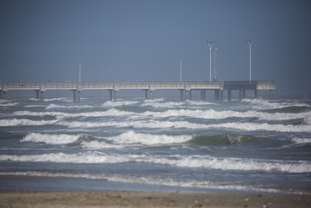
In Texas, there are reports of beach closures and delayed school openings from Corpus Christi all the way up into Galveston County and beyond, because of concerns about rising tides. Michael is not expected to have direct effects this far west, but Victor Murphy, the climate program manager at the National Weather Service, who’s based in Fort Worth, says a hurricane of that magnitude has never before hit that part of the Florida peninsula.
“Sustained winds of 140 mph plus, you’re going to have storm surges of 10 to 12 feet,” Murphy says.
Murphy says the storm is expected to make landfall just east of Panama City late Wednesday afternoon. He says if the storm continues to track east of the city, that could mean less damage because it’s a mostly rural area.
“Once you get east of Panama City, it’s a pretty rural area; some beach houses but not a hwole lot of population, so five or 10 miles could be huge here as far as damage,” Murphy says.
He says if the storm tracks 10 miles further west of its current trajectory, and closer to Panama City, the damage could be catastrophic.
In other storm-related news, four people are missing after an RV park was washed into the South Llano River near Junction, Texas early Monday morning. Murphy says that flooding came as a result of 7 to 12 inches of rainfall in about a 6 to 8-hour period. He says a wall of water that he calls a “flood wave” moved through the town of Junction at around 6 a.m. He says flood gauges along the river near Junction recorded the quickly rising waters.
“The flow on the Llano River rose from about 4 foot at say five o’clock in the morning, up to 31 feet by eight o’clock in the morning,” Murphy says. “It was literally a 27 foot … wall of water, if you will, that flowed through the town in a space of about two hours.”
Murphy says the Texas storm is not related to Hurricane Michael.
But Texas is preparing for possible effects from the hurricane; some schools and beaches along the Gulf Coast are taking precautions. Murphy says the precautions are probably a good idea, especially because the Gulf is a shallow body of water and big storms can have ripple effects hundreds of miles away.
“You get a big storm like Micheal … and during high tide, you get a lot of nuisance flooding,” Murphy says.
He says he has heard of some recent flooding incidents on the Bolivar Peninsula in Galveston Bay, and on Galveston Island, but that flooding is really only a risk during high tide.
Written by Caroline Covington.