A blast of arctic air is bearing down on the Lone Star State, with meteorologists pegging the chill to settle across the state Thursday.
The front is looking to bring with it potentially hazardous wind chills and hard freezes, though precipitation is not expected. The state’s main power grid operator, ERCOT, says it expects to have enough power to keep Texans warm, but many are still eyeing the weather with memories of the 2021 winter storm still fresh in memory.
» SEE ALSO: Here’s how Texans can stay prepared for winter storms and other disasters
Tom Bradshaw, a meteorologist with the Dallas/Fort Worth office of the National Weather Service, joined the Texas Standard to talk about what to expect from the front and how Texans should prepare. Listen to the story above or read the transcript below.
This transcript has been edited lightly for clarity:
Texas Standard: We’re talking about an arctic cold front; I’ve heard some people describe it as the “Siberian Express.” Could you tell us a little bit about the timeline for this air mass and what parts of the state are likely to be most affected?
Tom Bradshaw: Well, our models have been kind of predicting this thing for probably close to a week now. And right now, the bitterly cold arctic air is really located over the northern half of the country. And we currently expect that front to begin plunging into the Texas Panhandle probably sometime late Wednesday evening/Wednesday night, and actually reaching the Gulf and the Rio Grande Valley by Thursday evening/Thursday night, and all of the state of Texas will be under arctic air and with strong, bitterly cold north winds.
That’s surprising to me. I did not realize that it might go as far south as the Rio Grande Valley. But you’re saying basically all of Texas is going to be affected by this, based on the latest modeling?
Yeah, sometimes people call this a “Blue Norther.” You know, these are fronts that really seep southward in the lee of the Rockies and just dive south through the plains states. And they really have no impediment to reaching the Gulf. And oftentimes, they will be well out into the Gulf of Mexico and even into a good part of northern Mexico itself. And so certainly all of the state of Texas is going to be under the sway of this arctic air by Thursday night.
What does that mean when you say “under the sway?” Because we’re not looking at a lot of precipitation, if any, right?
Fortunately, this is going to be a relatively dry frontal passage. We don’t have any strong storm systems that are going to be working in tandem with this front like we often do. A lot of times we’ll get storm systems moving out of the southern Rockies or northern Mexico, which will track across the state and will work with the arctic air to create icy and snowy conditions. That’s not the case this time. This is going to be a relatively dry passage. We may see a few snow flurries across the northern parts of the state Thursday, but nothing in the way of appreciable accumulations are expected. So we’re lucky in that respect.
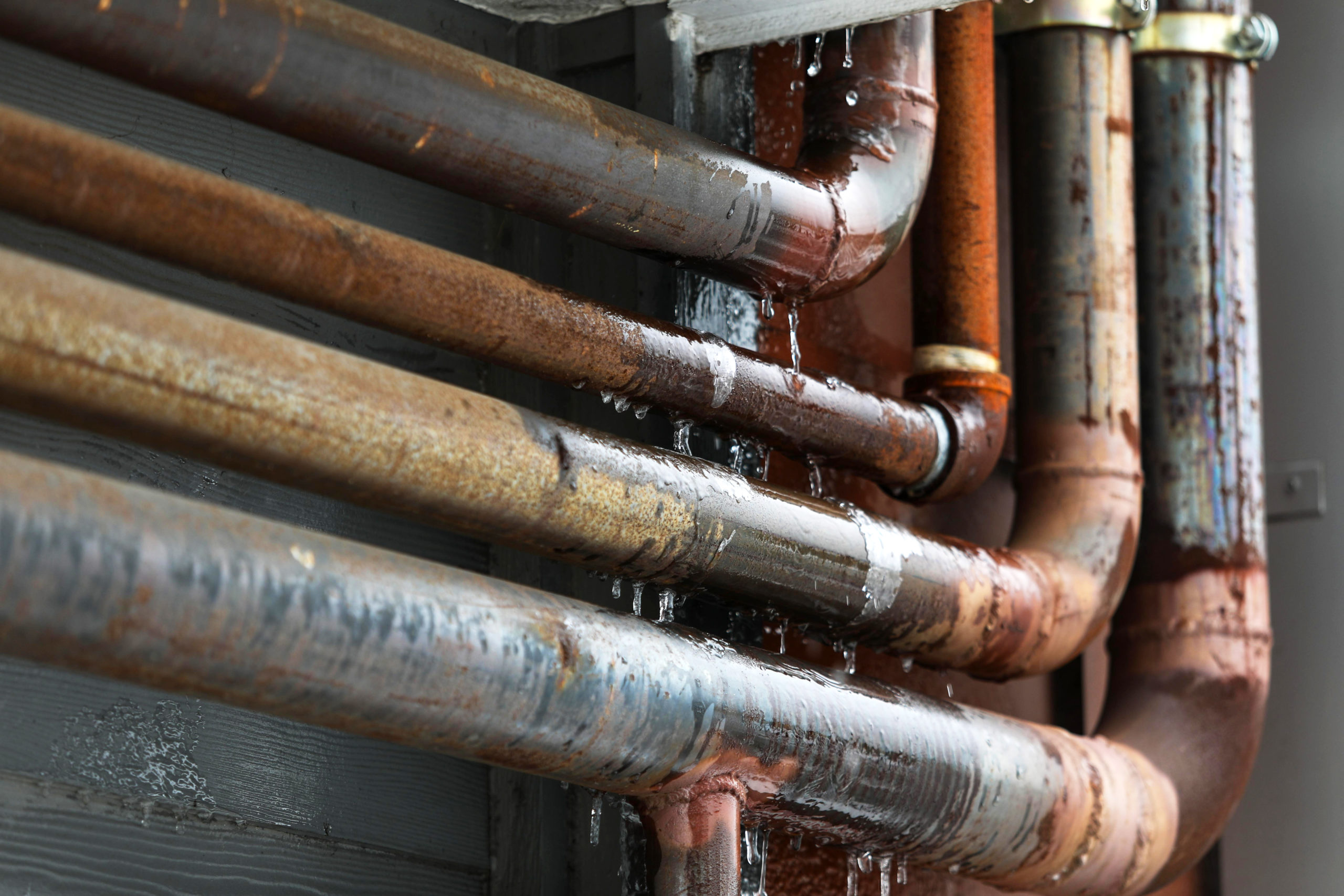
Lucky in that respect, but I think some people may be inclined to think, “well, you’re not going to have snow or freezing rain – what’s the real problem?” People, pipes, plants, pets – I think the four P’s is what we’re often told, right?
Yeah, absolutely. That’s the big concern, is just the the bitterly cold temperatures. You know, much of the Texas Panhandle – and probably I would say roughly the northern third of the state of Texas – are really going to be facing some significantly cold temperatures by Friday morning. Readings anywhere from around zero up in the Panhandle to teens across a good part of North Central/Central Texas. When you combine that with winds on the order of 15 to 25, perhaps gusting to 30, miles per hour, that’s going to combine to produce windchills on the order of 15 to 20 degrees below zero up in the Panhandle counties and as much as 5 to 10 degrees below zero across a good part of North Central/Northeast/West Central Texas, particularly along the north of I-20.
A life-threatening cold is what it sounds like. This is going to put some strain on the grid, I would imagine.
Yeah, well, it’s kind of out of our lane, at least in terms of speculating about the impacts on the energy. But certainly, from the standpoint of hazards to humans, you know, if you’re caught outdoors anywhere in the northern part of the state Thursday night/early Friday morning, the wind chills are definitely cold enough where it could produce some harm to you. Mention the other aspects of this cold air – obviously the impact to pipes, to sensitive infrastructure, plumbing, that sort of thing. Certainly pets, plants, people that are in residences that may not have adequate heating. You know, all of those things that are aspects of this cold weather that need to be considered as we get ready to move ahead into the event.
Do you have any top tips for folks trying to prepare for this?
Well, hopefully people kind of got the message a few days ago and they have already started to take preparation. At this juncture, probably being most concerned about your plumbing. If you live in a residence that tends to have any kind of plumbing issues – have sensitive pipes, pipes that are exposed to the outside – you really need to be taking steps to protect those pipes. Obviously wrapping or insulating your outdoor faucets would be a good idea. Obviously, any sensitive plants, if you can cover them to the greatest extent that you possibly can. Obviously, pets. Again, also caring about your elderly neighbors, people that may be less fortunate than yourself, that may have heating concerns, kind of taking care of them, kind of keeping an eye on it to make sure they’re okay. At least Thursday night into Friday night, that’s going to be the main timeframe that we’re going to be most concerned about.


