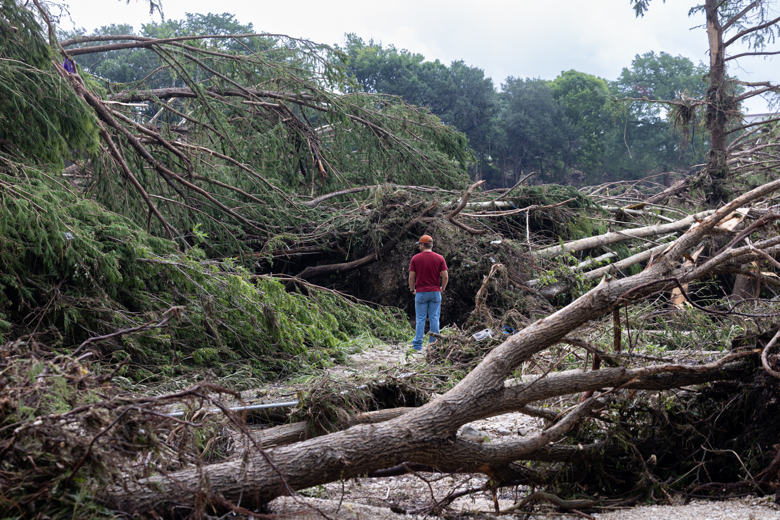
As important as warning systems might have been to help save lives in recent flooding, other experts say we should also think very hard about where we rebuild along rivers.
Adnan Rajib is an assistant professor of civil engineering at the University of Texas at Arlington and director of its H2I Lab, which just modeled to the Guadalupe River flooding. He joined Texas Standard for a discussion. Listen to the interview above or read the transcript below.
This transcript has been edited lightly for clarity:
Texas Standard: You are heartbroken like the rest of us, but not shocked by the devastation of the July 4th flooding. Before we get into the specifics of the Guadalupe River, can you tell us briefly about your work on floodplain disturbances in general?
Adnan Rajib: Yes, over the last couple of years, we have used state-of-the-art satellite data, both from NASA and European space agencies. We modeled how humans are disturbing the natural floodplains within the U.S. and globally. And we have found some really shocking outcomes.
We found that, globally, in the last 20/25 years, we lost more than 500,000 square kilometers of natural floodplains. And that’s almost the size of France. Imagine one big country disappearing from the face of the Earth.
So protecting the natural floodplain is fundamental to protecting people from flood hazards, but we are not doing that.