People who live close to sources of air pollution are at greater cancer risk than data from the Environmental Protection Agency suggests.
That’s according to a new report from ProPublica, which used the EPA’s data to map areas where cancer risks are higher because of air pollution.
Lylla Younes, a news apps developer for ProPublica’s Local Reporting Network, spoke with Texas Standard about creating the map and how it could influence regulators. Listen to the interview with Younes in the audio player above or read the transcript below to learn more about why the EPA may be underestimating potential risk and what’s being done about it.
This interview has been edited lightly for clarity.
Texas Standard: This project required analyzing a massive amount of air pollution data from the EPA. What were you able to capture with that analysis that someone wouldn’t get from just looking at the EPA’s own data?
Lylla Younes: We were able to capture the cumulative estimated cancer risk from all of the different types of facilities in an area. When the EPA assesses cancer risk, they only look at particular facilities and equipment types in isolation. So what we did was we just put it all together and showed our readers what it really looks like when you consider all of the industrial activity in an area.
This map shows the cancer risk in an area given its proximity to facilities that emit toxic chemicals correct?
It shows the estimated cancer risk because, again, this data comes from a model and not from actual air samples.
Do you have a sense of how much the EPA may be underestimating this risk through its own metrics?
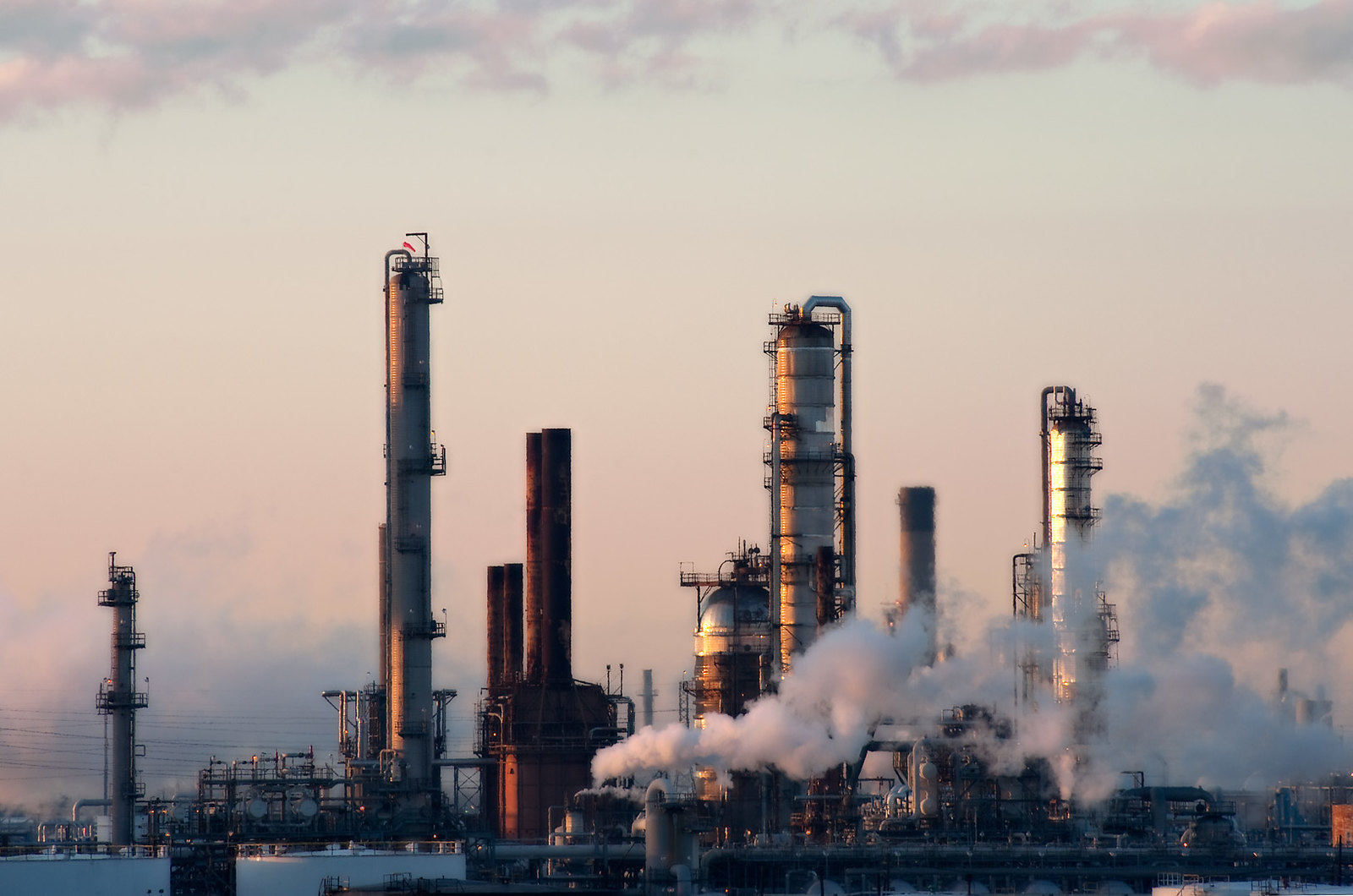
It sort of depends on where you’re looking. In a place like Pascagoula [, Mississippi,] or parts of the Texas Gulf Coast, you have many different types of facilities and equipment types. So yes, the agency could be vastly underestimating the data two, three, fivefold when it only considers one particular type of industrial facility or equipment.
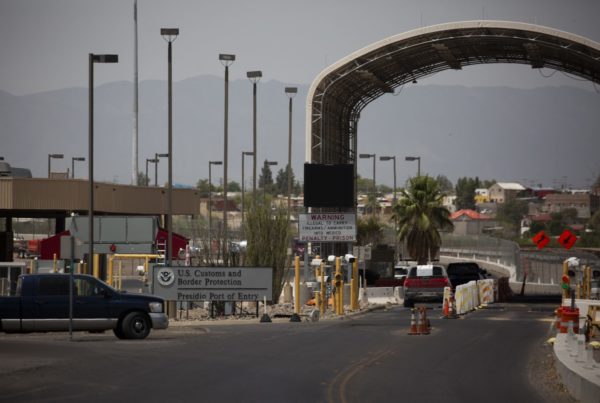
You and your colleagues identified some hots pots across the country where there seem to be particularly high levels of pollution. And many of those hots pots are in Texas. Could you say more about why that is?
I think it’s twofold. So, states along the Gulf Coast, like Texas, confer specific advantages like proximity to oil fields and deep-water ports, so it’s just cheaper to operate there. But also, Texas offers its industries huge tax benefits and also has indicated a willingness to put the interests of the industry before the health of its residents.
What have officials from the EPA had to say about these findings?
The EPA has acknowledged that these hot spots exist and that it will take many years to untie the policy knots that have gotten us to where we are. But they’ve also said that progress depends, to a degree, on support from local partners like the Texas Commission on Environmental Quality. So there has to be a real concerted effort between many different parties to ensure that Texans and all Americans will breathe cleaner air.
Any response from Texas officials about your findings?
Texas officials have reiterated their policies and, sort of, the way that they regulate these polluters, but not really anything to the EPA’s point on having a real, new concerted effort going forward.
Is it too late to help the people who already live in these hot spots?
It’s not too late. There are certain ways that policy can change to force facilities to add different controls, more strict controls to their facilities, to limit the amount of pollution that escapes. The EPA also told us that it would consider revisiting its acceptable cancer risk threshold. If it tightened that threshold then many more polluters across the country would technically be in violation of federal standards, so that could also lead to pollution decreases. But certainly, there also needs to be an effort that starts at the permitting process that says, you know what, this area is already overburdened by pollution and we can’t see any more here.
At the same time, there are a lot of people who probably wish they knew that they were moving into a region that you’ve identified as a hot spot. Any possible changes to the way the EPA reports these conditions?
The EPA has been really hesitant to identify hot spots in the way that we have. They’ve told us that they don’t want to be alarmist and that it can send them down various rabbit holes when a hot spot is identified, to ensure that it actually is as bad as the modeling shows that it is. So, we believe that the EPA will actually have to start trying to take this seriously and identify these hot spots the way that we have and then share that information with the public. And then follow up and make sure that the hot spots truly are as bad, or potentially even worse, than they look like in the data.