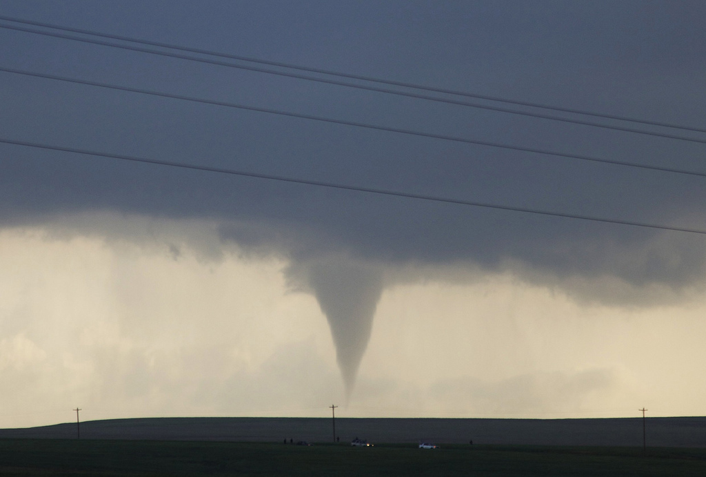
As the winter season draws nearer, many Texans have noticed the sudden rain, flooding and chilly weather that’s hit our state. Ironically, there were fewer severe-weather events in Texas this year – something that Texas A&M University’s newspaper, The Battallion, captured in a recent headline. Texas A&M atmospheric sciences professor and State Climatologist John Nielsen-Gammon confirms that it’s true: This year, the number of tornadoes and hurricanes in Texas has fallen well below the average.
“This year has been, at least for tornadoes, a very good year for Texas. Normally, our severe-weather season is primarily April, May and into June. I think it just so happened that during this particular year, we did not get the right kind of weather systems that allowed them to happen,” Nielsen-Gammon says.
Tornadoes occurrences did go up in states further north and east. So Nielsen-Gammon says the low rate in Texas this year could be an anomaly. He says Texas has only about 20 years of data on tornados so that makes long-term trends difficult to predict.
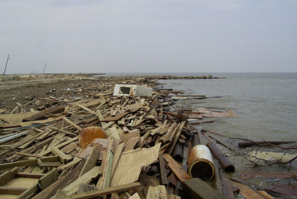
And even though there there hasn’t been a hurricane in Texas since Harvey in 2017, Nielsen-Gammon says the recent heavy rain and flooding is notable.
“After Harvey, there have been several studies looking at historic trends in rainfall, and it seems that those super-intense storms are actually producing 10, 20 or even 30 percent more intense rain than they would have if they happened 100 years ago,” he says.
Nielsen-Gammon says the rain and flooding is likely being enhanced by warmer temperatures across the globe, and a change of weather patterns that goes along with that.
“If you look at the big picture, rainfall, overall, in Texas has gone up by about 5 or 10 percent over the past century, so it seems to be getting wetter. In terms of extreme rainfalls, we get down to very wet months or very wet days – the sort of thing that causes flooding. There, the connection with climate change is a bit stronger,” Nielsen-Gammon says.
Written by Alexia Puente.


