A polar vortex is bringing freezing temperatures to Texas this week, with a couple of rounds of precipitation that could cause issues on untreated roads.
Just how much, how bad, and what kind of preparations we should take? Eric Berger – a meteorologist, senior space editor at Ars Technica and editor and writer for Space City Weather based in Houston – shared a forecast for the upcoming week.
This transcript has been edited lightly for clarity:
Texas Standard: We’ve already seen the thermometer drop across much of the Lone Star State as we speak. Any bad conditions in Texas right now?
Eric Berger: No, it’s just the very cold temperatures across much of the state. It was down to 5 to 8 degrees in parts of the Panhandle this morning. And, you know, pretty much all of Houston, Austin, San Antonio area hit freezing as well. But fortunately, it’s been pretty dry. The precipitation is going to come later in the week.
I’m hearing perhaps Tuesday night we could see some precipitation in the Panhandle area. Is that what you’re hearing?
Yeah, it’s going to be kind of a 1-2 punch. The first punch is not going to be too bad. I think we’ll see some snow in the Panhandle.
Not too much in terms of accumulations; there’s just not enough moisture in the atmosphere to really support it. But yeah, as you said, that falling on untreated roads could create some hazardous conditions.
Let’s talk about punch No. 2. That comes on Wednesday afternoon, going into Wednesday evening after sunset, right?
Yeah. Really, it’s an issue probably Wednesday night into Thursday. And we’re just talking about a large band of some combination of snow, sleet and freezing rain that’s going to affect pretty much all of Texas, north of Austin, San Antonio, and kind of the Huntsville area and north and west of those areas.
And particularly, it does look like some of the heaviest precipitation is going to fall along the I-20 corridor. So we’re talking about Fort Worth, Dallas, over to Shreveport and Texarkana.
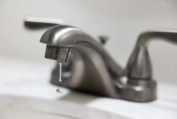
» MORE: Why do Texans need to drip our faucets in freezing temperatures?
I think we will see temperatures rise above freezing during the daylight hours and then fall back below freezing after dark. First, what are we talking about when it comes to precipitation? Are we looking at ice or snow or both?
It’s very difficult to say right now. The predominant expectation I would have is for snowfall. And we’re talking like six or more inches for some locations. And there’s going to be quite a bit of moisture for this from a low-pressure system over the Gulf for this to work with.
But it’s very tricky because, as you said, the temperatures are going to be changing as we go from night to day to night again. So there’s a potential also for freezing rain, which obviously is the most treacherous for roads and then for sleet or ice pellets, which are basically, you know, tiny balls of ice.
Where are we going to see upwards of six inches of snow potentially? Who’s really going to get hit by this?
It’s still a little bit difficult to have total confidence at this point. But it does look like one of the bull’s-eyes is going to be pretty near the Dallas-Fort Worth Metroplex. There have been various predictions from 6 to 12 inches of snow there. I’m not sure that’s going to entirely verify that.
But if you put that along with some sleet or especially some freezing rain, it’s going to create some very hazardous conditions. And I’m thinking especially Thursday morning and then Thursday night into Friday morning, you know, what’s on the roads will freeze. And it’s just going to be probably very messy.
» GET MORE NEWS FROM AROUND THE STATE: Sign up for Texas Standard’s weekly newsletters
I know you’re no energy expert here, but a lot of people think back to that February of 2021. Are we looking at the potential for power grid issues here? We’ve talked a lot about transportation.
Yeah, hard to say. I would say that the freeze this time is not going to be nearly so severe as it was last time. For example, during the freeze and especially the Valentine’s freeze of 2021, you know, Houston was seeing temperatures in the 10-15 degree range. This time, we’re looking at nighttime temperatures in the 30-35 degree range. So quite a bit warmer.
And that’s kind of the same across the state. And, you know, they did take some provisions to increase power generation and reliability, theoretically, during freezes. You know, that’s on the power generation side. The other piece, of course, is you’ve got to get the power from the power plants to people’s homes. And so if you’ve got ice on power lines, that obviously could create problems.
So what we’re talking about here is a real danger for, say, limbs snapping and falling on power lines and that sort of thing?
I think more like chunks of ice accumulating on power lines and causing them to break in some cases, that kind of thing.
What should people be doing right now to protect their homes, that sort of thing?
I mean, the biggest thing I would say is have a contingency plan to stay home on Thursday, and especially Wednesday night and Thursday night, in areas basically anywhere north of Austin and Huntsville – you know, as you travel on I-35 and I-45, because there will be the potential for significant accumulation of ice and snow. And these are areas not equipped.
And this is not like a glaze of ice. For some areas, it’s going to be pretty significant. So it will take time to clear those roads.
I think by Friday during the daytime, it should warm up enough to really melt some of this stuff off. But take extra time and avoid those areas if possible, because it has the potential to be pretty disruptive for transportation.