The biggest blast of winter weather so far this season pummels the state today, with snow and likely ice for northern parts of Texas and perhaps as far south as the Hill Country.
Up in the Panhandle, forecasters are predicting areas around Amarillo could see snow on and off for 12 to 18 hours. Around Midland/Odessa it’s looking more like a little bit of snow and some ice – but weather experts warn it doesn’t take much of that to make roads dangerous and they’re warning against any unnecessary travel.
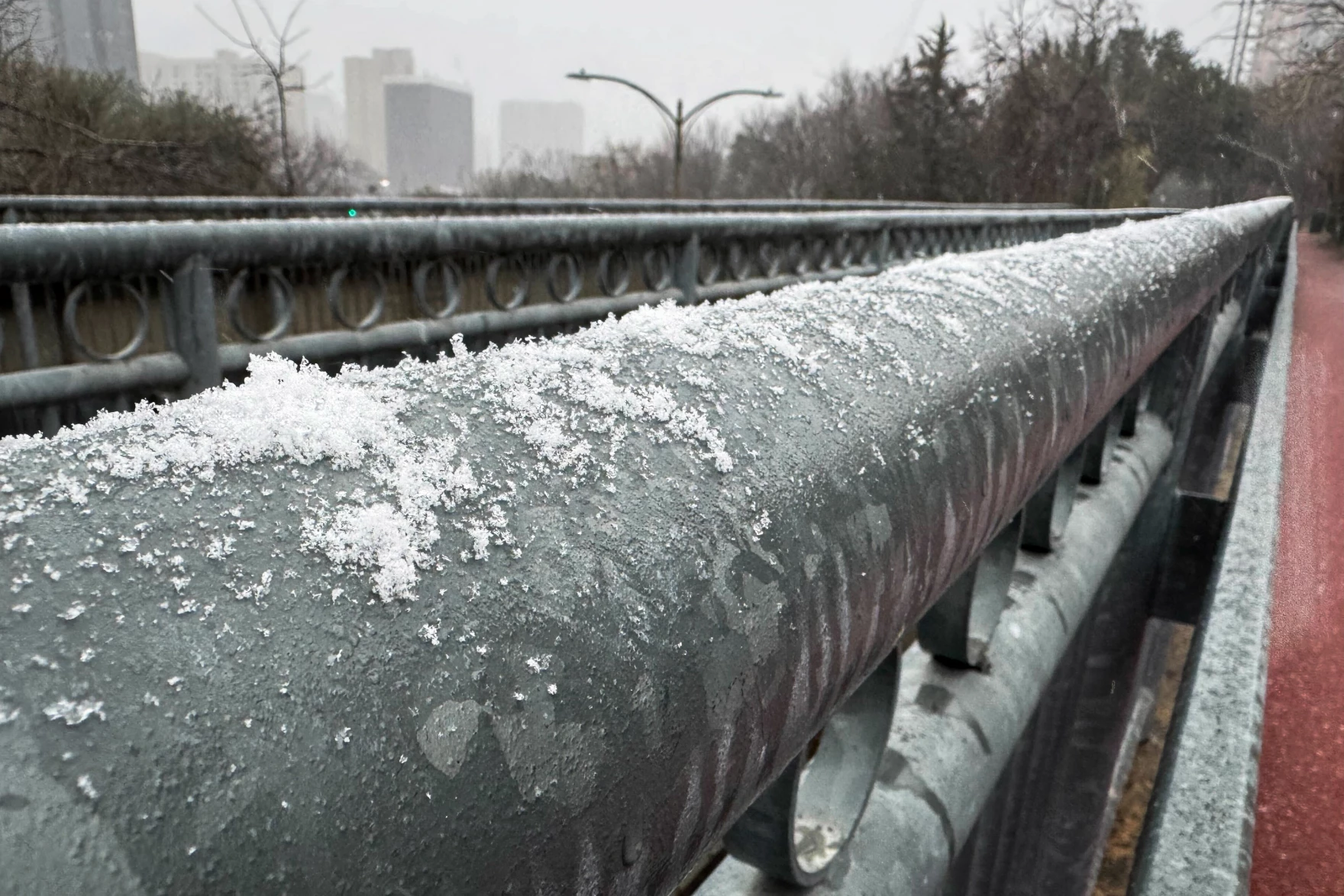
But the biggest area of concern is looking like the Dallas-Fort Worth metroplex, where the snow was already falling this morning and some areas could see as much as 8 inches. More than 1,000 flights have been canceled, and the roads could be hazardous, which is of special concern as many are traveling into the area for Friday’s Cotton Bowl.
Allison Prater, a meteorologist with Fort Worth/Dallas Field office of the National Weather Service, joined the Standard with more on what Texans should be expecting throughout the day and into Friday.
This transcript has been edited lightly for clarity:
Texas Standard: At this point, what aspect of this winter storm has you most concerned?
Allison Prater: Right now, the impacts that I’m most concerned about are the road conditions and the impacts to travel. We do have people traveling for the Cotton Bowl that is tomorrow in Dallas County and additionally people traveling, going back to school during the day.
With our snow totals that we’re expecting across North Texas, we’re expecting up to around 2 to 5 inches, which is our most likely scenario. However, there is an increasing threat for what we call snow banding, and those are narrow corridors of higher-end totals. And that could be up to 8 to 10 inches north and northeast of the Metroplex.
So that’s one thing that we’re concerned about. That could cause infrastructure impacts because it’s going to be heavy, wet snow. So that could accumulate on power lines and could cause impacts to power infrastructure as we head into the weekend.
However, that’s a little uncertain. We’re not sure where that’s going to happen ahead of time. So we’re going to continue to keep watch on radar. We’re going to keep watch throughout the rest of the day and update our forecast as necessary. So we do recommend that people stay aware of the forecast and keep updated on those snow amounts, ice amounts and road impacts and road conditions.
» MORE: Ranchers scramble to prepare livestock for winter storm in Northeast Texas
What’s the prediction on when the peak will be, and how long might ice stick around and keep roads slick?
Our highest snowfall totals are going to be generally near the I-20 corridor around DFW and north. And so we’re expecting impacts to last at least through tomorrow afternoon. We expect to be generally above freezing during the afternoons.
However, overnight will be below freezing, which could also impact travel by refreezing any water that’s on the roadways. So if there’s melting today, there’s melting tomorrow afternoon during the overnight period, that’s going to refreeze and cause slick spots on roads.
You mentioned the possibility of power outages just because of the potential weight of some of this snow and ice. It was just a few years ago that we saw that more-than-100-car deadly pileup in the Metroplex. Is travel really your other big concern?
In any winter storm environment where we’re expecting accumulations of ice and snow, travel is a concern. A lot of cars may not be able to handle snow or these larger snow totals. But we can’t really tell what exact impacts are going to be.
We know they’re going to be higher later this afternoon into the overnight periods to tomorrow morning, particularly north of I-20. But they could last through the afternoon and have a higher impact each morning with the refreezing.
So today, the most concerning part of the day is going to be this afternoon into tomorrow morning when we’re expecting the heavier rainfall and snowfall – so the main show, we call it. And then our impacts are going to increase throughout the day as road conditions continue to deteriorate throughout the region.
» MORE: ‘We’re ready to go’: Texas leaders confident about preparations, power grid ahead of winter storm
Anything else you want folks to know?
Continue to keep updated with the forecast, particularly this afternoon into tomorrow morning, where we’re going to have moderate to heavy precipitation.
Make sure to delay or avoid travel if possible, as any roads that are untreated or elevated, roads or bridges, overpasses may become hazardous or impassable. So we want people to continue to keep caution if they have to drive.