Temperatures in Texas plunged Sunday as the state felt the effects of a polar vortex storm system.
Austin awoke Monday to a light blanket of silvery white outside the frozen dew, gently bending all the tree limbs ever so slightly.
At about 3:30 this morning, a driver near a slider bar in Grapevine turned on his camera and had hundreds of people watching him on YouTube as he made his way through what appeared to be lake effect snow, as there weren’t clouds in the area, but plenty of flakes covering the roadways.
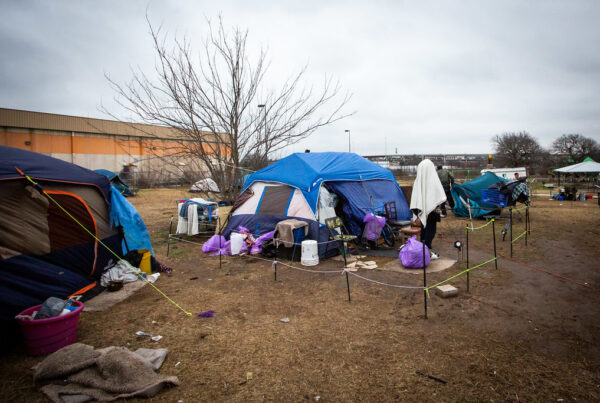
As of early Monday, the Texas power map showed spotty outages in places like Terry and Martin counties in the West Texas Panhandle, while Ellis County south of Dallas also had customers without power.
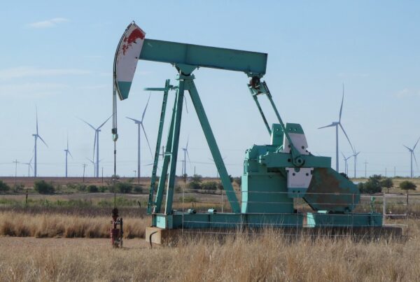
ERCOT, the state’s power grid manager, issued an electricity conservation appeal on Sunday afternoon– and it appeared to have had an effect, with demand consistently running below supply and perfectly tracking forecast demand.
Matt Lanza, a forecast meteorologist and managing editor of Space City Weather in Houston, said the weather in and around Harris Country is cold but with limited precipitation – and that Texas is faring better than much of the U.S.
“This is a pretty serious plunge of Arctic air across the country. It has been cold from the Rockies to now, the Midwest, and eventually going to get to the East Coast as well. I think Denver actually had one of their coldest days in 30 years this past weekend. There’s been massive winds and snow in parts of the mountains in the West,” Lanza said. “Fortunately for Texas, the worst of it relative to what would be normal for winter is to the north of Texas this time. But we’re still definitely getting a chunk of it down here as well.”
» GET MORE NEWS FROM AROUND THE STATE: Sign up for Texas Standard’s weekly newsletters
Lanza said the Panhandle is among the hardest hit areas in the state.
“This is probably a once-every-few-winter type of cold outbreak for them,” he said. “The wind chill is going to be really painful going into tonight and into tomorrow morning, especially. It’ll feel like well below zero. And a few places will actually get below zero across the Panhandle.”
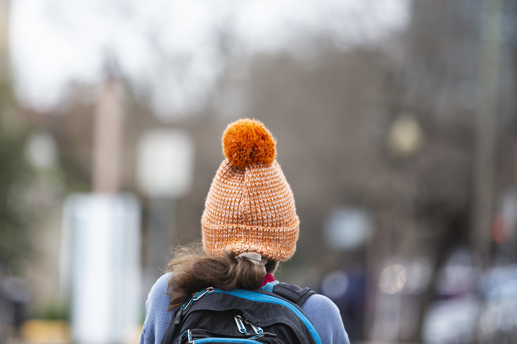
In temperatures like that, Lanza said it is absolutely critical to cover exposed skin and limit time outdoors.
“Sometimes people view wind chills like, oh, it’s another one of those ‘feels like’ temperatures. It’s kind of a joke. No: Wind chill is serious. It’s rooted in science, the calculation of it. And when you combine that wind in that cold, we’re not just saying it feels like 10 degrees. It actually does feel like 10 degrees when you’re on exposed skin,” he said. “Folks everywhere from from Houston down to Corpus Christi up through the Panhandle need to make sure that they’re bundled up, you know, particularly tomorrow morning going back to school.”
Which night is the coldest this week will depend on where in the state you live, Lanza said.
“[Tuesday] will actually be the coldest night for places like Houston and probably Austin,” he said. “I think [Monday] will probably be the coldest night for Dallas. But then we warm up rather substantially going into Wednesday and Thursday. Actually, Thursday may be a nice day in a good part of the state, overall, with milder temperatures. And then we get another shot of cold air this weekend that will lead to some freezes in spots, but it does not look to be as intense as the current cold shot that we’re dealing with.”