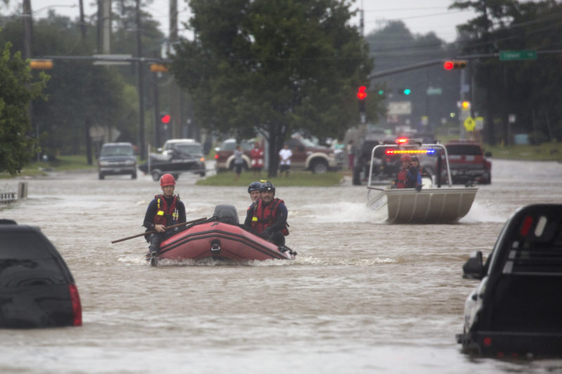
In one of the most comprehensive reports by county and local officials in the Houston area, data indicates most homes damaged by Harvey flood waters in Harris County were not located in a flood plain, leaving many victims uninsured. Now some experts are questioning the accuracy of the FEMA database that indicates who is and who isn’t in a flood plain.
One of those experts is Sam Brody, the director of the Center for Texas Beaches and Shores at Texas A&M University in Galveston, whose area of study includes urban flooding.
Brody says one main takeaway is that, particularly in a rapidly-growing metropolitan area like Houston, outdated maps aren’t useful – and in some cases, the flood plain boundaries haven’t been reassessed for years.
“Some flood plains are 10, 15 years old across the country,” Brody says. “But every time we put a house, a road, a rooftop – that flood plain can change. Particularly in low-lying coastal landscapes like the Houston area.”
He says there are new maps on the way for the Harris County and Galveston County areas, but even then, residents still need to take a close look at the boundaries.
“The important thing to remember is, if you’re out of the flood plain, you’re treated the same if you’re an inch out or 1,000 miles out,” he says. “But being an inch out, because the flood plain boundary is dynamic, be careful because the chances you could flood in a 100-year storm or even less, could be as great as being deeper into the actual flood plain itself.”
Brody says FEMA contracts mostly to large companies to create the flood plain maps. In the end, the maps have significant limitations – and that’s why residents should be more conservative when guessing their own risk of flooding.
“[The maps] are based on hydraulic assumptions. The best data we have,” he says. “They don’t really bake in land use, development, human-oriented factors. So it doesn’t account well for the changes in development and putting humans in harm’s way.”
Written by Jen Rice.


