From KUT:
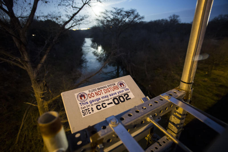
A website that warns central Texans about road flooding is getting an overhaul this month. The designers of the new site say the changes should give visitors more detail about flooding near them.
ATXfloods.com is basically a map that shows which low-water crossings are underwater. On a sunny day, it should be full of green circles to say the crossings are OK. During heavy rains, those green circles turn to red.
The site was launched by the City of Austin in 2012 and has been visited 9 million times, a number that makes sense when you consider how many floods the area has had since then.