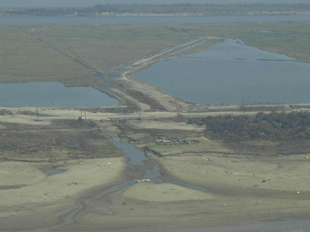
Cities along the Gulf Coast are bracing for almost a foot of sea level rise in the next 25 years. And data from a study in the journal Nature last week suggests those risks will be exacerbated as urban areas sink to meet the sea.
Rebekah Ward, who covers the environment for the Houston Chronicle, said the study covered areas nationwide, including several cities in Texas.
“It looked at cities along multiple U.S. coasts,” she said. “But the Texas cities that it honed in on were Port Arthur, Galveston, Texas City, Freeport and Corpus Christi. So several up pretty close to us here in Houston.”
The reason land is sinking as sea levels rise has to do with a phenomenon called “subsidence.”
“[This] is when the Earth compacts, often due to a combination of factors, but those include when water or oil is pulled out via wells,” she said. “That compaction can’t be fully reversed because the ground composition actually changes.
“So, as these researchers showed, in cities and locations – especially along the Gulf Coast – where that compaction is happening at a relatively quick pace, that will actually compound how much water is able to get into those cities and onto those properties when the sea levels rise.”
» GET MORE NEWS FROM AROUND THE STATE: Sign up for Texas Standard’s weekly newsletters
However, Ward said several of these cities have infrastructure in place that will help mitigate flooding risk going forward.
“The study first looked at just the relative land levels. So how much sea level rise would impact the land that we have along the coast?” she said. “But then it factored in several infrastructure projects that have actually mitigated the damage of those flooding events. And we do have multiple of those in Texas.
“So according to their calculations, both in Texas City and Port Arthur, existing levee systems should actually protect a lot of the homes from the exacerbated risk.”
Relative risk for individual parcels of land isn’t listed in the study, but cities do provide resources for people to figure out how liable their home is to flooding.
“The first thing I would do is look at your local flood maps and see whether your particular property is actually in the line of fire. In the Houston area, the county releases maps that show those impacts from sea level rise and flooding,” Ward said. “And I believe in every city there will be a slightly different system for that release. But don’t necessarily panic because it’s not all of every city. It’s only the swaths of land that are either particularly low or particularly susceptible to this combined factor.”
Ward said it is a good idea to look into this soon if you have concerns, because sea level rise is not as far off as we might think.
“I think one of the points of the researchers who wrote this study was that we tend to think about sea level rise, or the impacts of sea level rise, as something that is not imminent,” she said. “But when combined with land sinking or subsidence, it increases the risk that by 2050, we’ll be able to see some of these negative impacts along the Gulf Coast.”


