Scientists have long been sounding the alarm bells about how climate change will lead to more extreme weather events. Among them: worsening droughts, stronger hurricanes and hotter temperatures overall.
A new report from a state climatologist and the nonprofit Texas 2036 takes a closer look at what exactly that could mean for Texas.
The Texas Standard’s Angela Kocherga spoke with Texas state climatologist John Nielsen-Gammon about the growing risk for extreme weather, and how the state can prepare.
Texas Standard: I understand this is an update to a report from 2021. Why the update and why now?
John Nielsen-Gammon: Well, you know, as we go along, there’s a couple of things happening. We get more and more data, which makes the trends more and more clear. And secondly, there have also been a decent amount of research over the past few years looking at different aspects of Texas climate that we wanted to include in the report.
And lastly, we wanted to go a little more detail on some particular areas that weren’t covered very much previously, such as wildfire and changes in the seasons in Texas.
Well, what are some of the key takeaways for what we can expect to see change between now and 2036?
Well, first off, with two very hot summers we’ve experienced that means that the the trend in extreme heat, particularly 100 degree days, is higher than expected. So we incremented that up a bit.
We also have seen studies looking at heavy rainfall. And that’s increasing at a faster rate than had been previously estimated.
And lastly, we look closely at changes in weather conditions such as wildfires. Those are now higher than they had been, particularly in southern and western Texas.
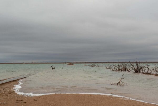
Well, one thing that stood out and will likely affect many Texans is the risk of increased flooding. What does that look like?
Well, because of the increased heavy rainfall, flooding is more likely in urban areas that don’t experience much infiltration of rainfall. Most of what falls just runs right off. And with greater amounts of rainfall coming down more intensely, that means more runoff. And so a greater flood risk in urban areas and rural areas along rivers.
It’s a little bit more of a mixed story – probably less of the mild floods, but the risk of very intense floods is inching upwards.
» RELATED: ‘Aggressive’ hurricane season forecast for Texas Gulf Coast
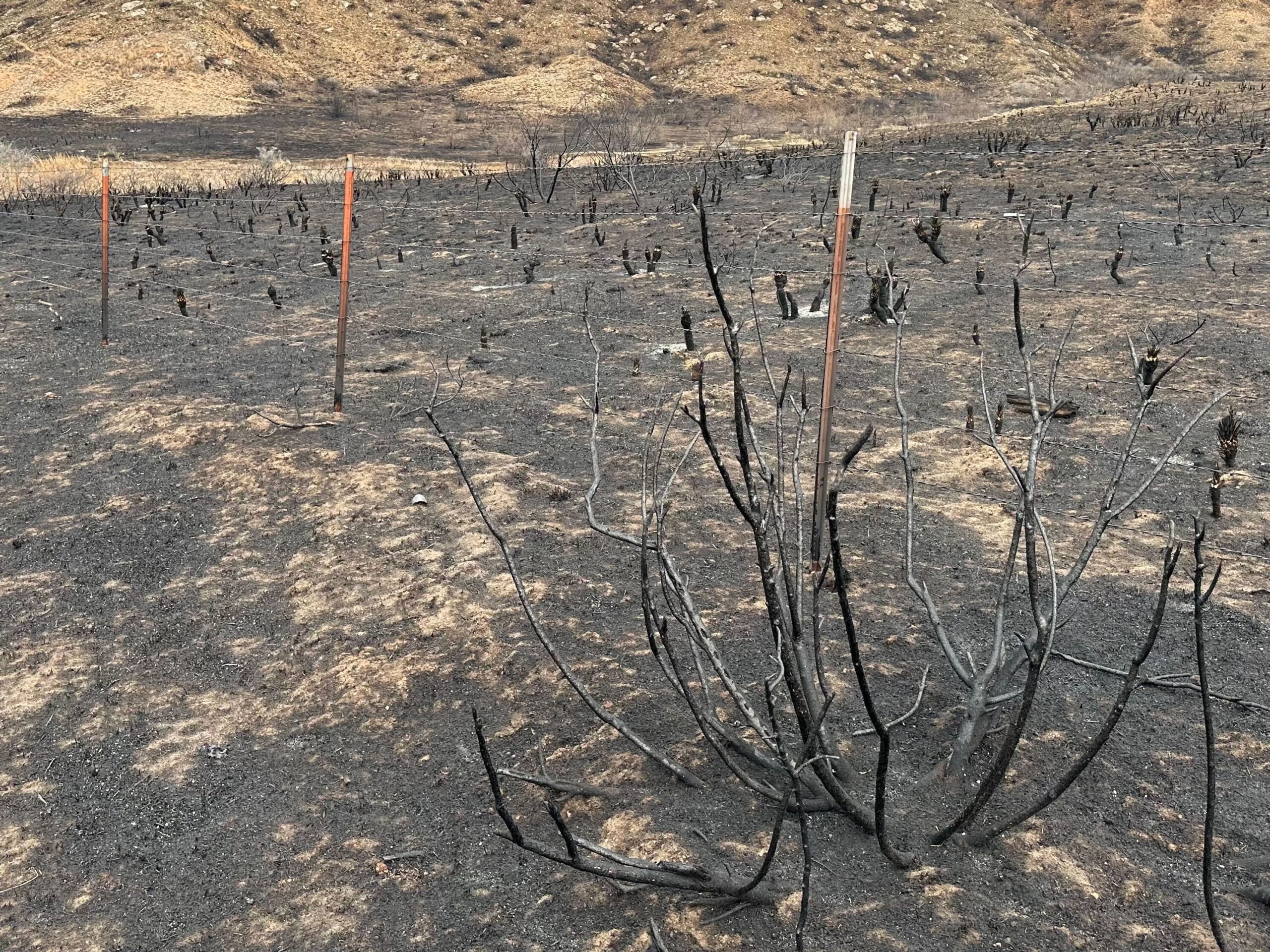
Well, you touched on it a little, but another event that’s very fresh in the minds of many Texans is that devastating Panhandle wildfire – that historic fire earlier this year. Your report finds fires like this will become more common. Can you give us a little more information about that?
Well, the climate drivers of wildfire risk indicate a greater risk going forward.
Of course, a lot depends also on how, landscapes are managed in terms of fuels available. And wildfires, especially the big ones in West Texas during the springtime, are fairly sporadic. They depend upon a particular combination of conditions.
We actually have been through a fairly quiet period since 2011 without a lot of big ones, but the Smokehouse Creek fire was certainly a wakeup call in that regard.
Well, finally, what can state leaders do to prepare for the likelihood of more of these extreme weather events?
Well, the first step is to recognize the many types of extreme weather are increasing. At that point, that means basically allowing for greater risks for Mother Nature. Perhaps changing regulations or changing planning to account for the climate of the future, as well as the climate of the present.