From The Texas Newsroom:
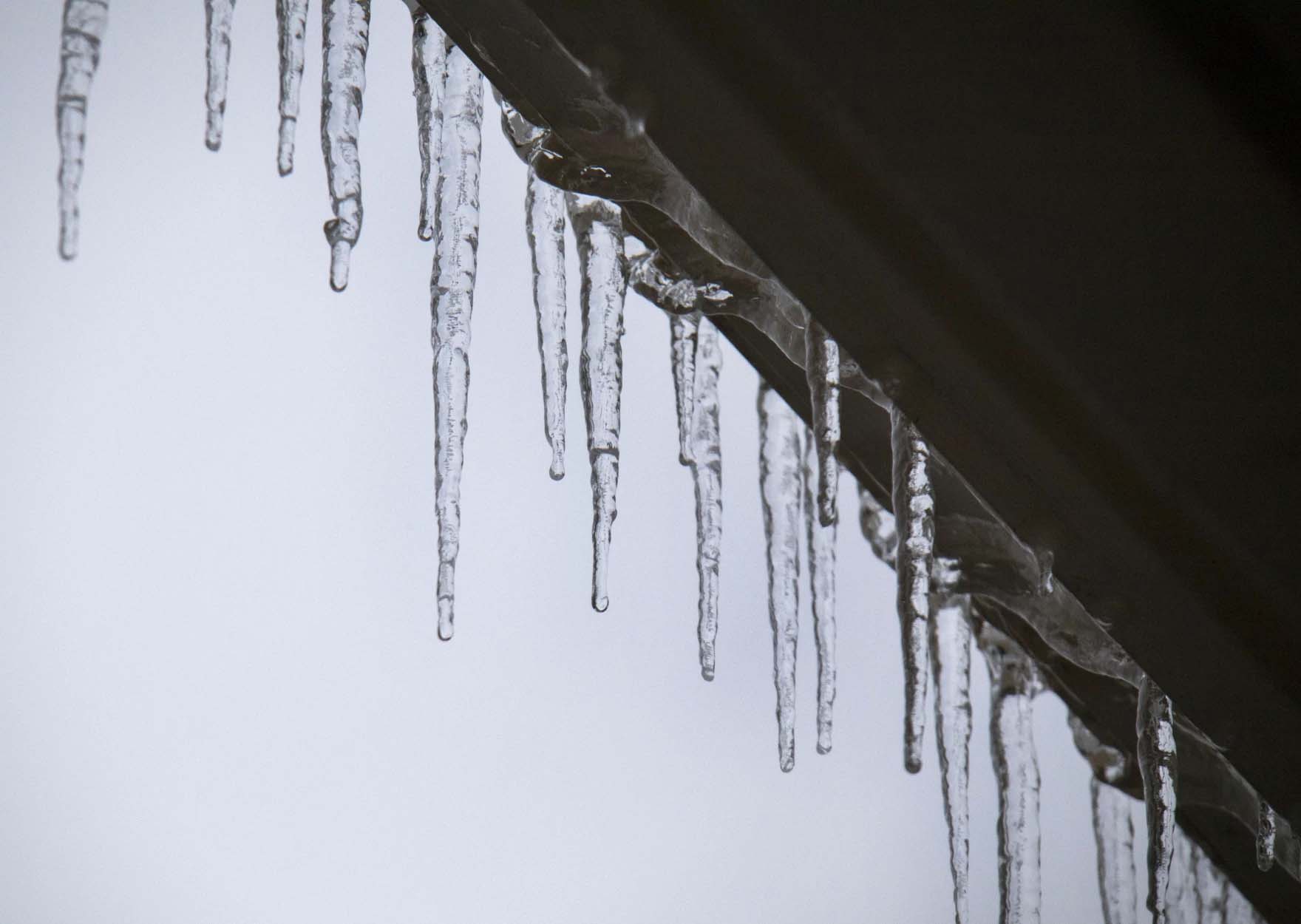
Most of Texas will be hit with sub-freezing temperatures in the next few days as an arctic blast prepares to blanket much of the state.
That means the balmy conditions most Texans have enjoyed this week will be replaced by lows forecasted to drop into the teens — or lower — according to national forecasters.
“Temperatures continue to plunge through the weekend, and we are taking some very dangerous temperatures with active weather moving through the area,” Weather Channel meteorologist Domenica Davis said in her forecast Thursday.
Davis said that once the blast hits, temperatures will be between 30 to 40 degrees lower than average.
» MORE: How to care for your trees before and after the winter storm
Conditions to expect around the state
In Austin, temperatures are expected to be in the low 30s starting late this weekend. That includes the possibility of temps in the teens on Monday and Tuesday, KUT reported. The National Weather Service added that, when wind chill temperatures are factored in, it could drop into the single digits.
After this cold front passes, temperatures are expected to climb back into the 50s and possibly 60s later next week, according to extended forecasts.
San Antonio faces a possible hard freeze for much of the city on Monday, according to Texas Public Radio. Texans in that region should expect it to be in the mid-20s at sunrise Monday, and in the low 20s that time on Tuesday. Temperatures will be in the teens across the Hill Country on both of those days. But things should warm up slightly beginning Wednesday, when the high is forecasted to reach the upper 40s. The rest of the week should be warmer, with highs in the mid-50s to low 60s.
» MORE: How to stock your fridge and pantry for a possible power outage
The National Weather Service forecast for the Houston/Galveston region predicts “long durations of subfreezing temperatures” beginning Sunday night. There are also chances for light freezing rain around the area. Temperatures are expected to climb to the high 40s to high 50s by Wednesday.
In North Texas, temperatures will hover below freezing starting Sunday. National Weather Service forecasters estimate highs that day will be around 31 degrees, with a low in the mid-teens. That’ll be followed by dangerously low high temperatures — in the mid-to-high 20s — on Monday and Tuesday. Wind speed could also exceed 10 miles per hour, which will make the region feel even colder. There is also a greater than 20 percent chance North Texas will see a “wintry mix” of precipitation on Sunday and Monday.
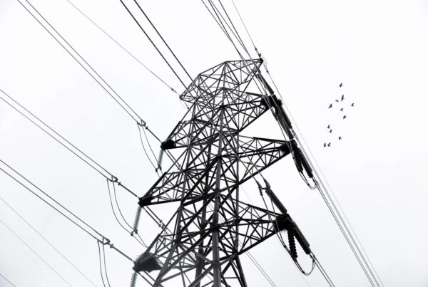
State and local agencies and weather bureaus remind Texans to prepare for the hard freeze by ensuring the four Ps – people, pets, pipes and plants – are protected. The Federal Emergency Management Agency also reminds people to ensure generators and indoor heaters are properly used and recommend that residents make sure they have operating carbon monoxide detectors.