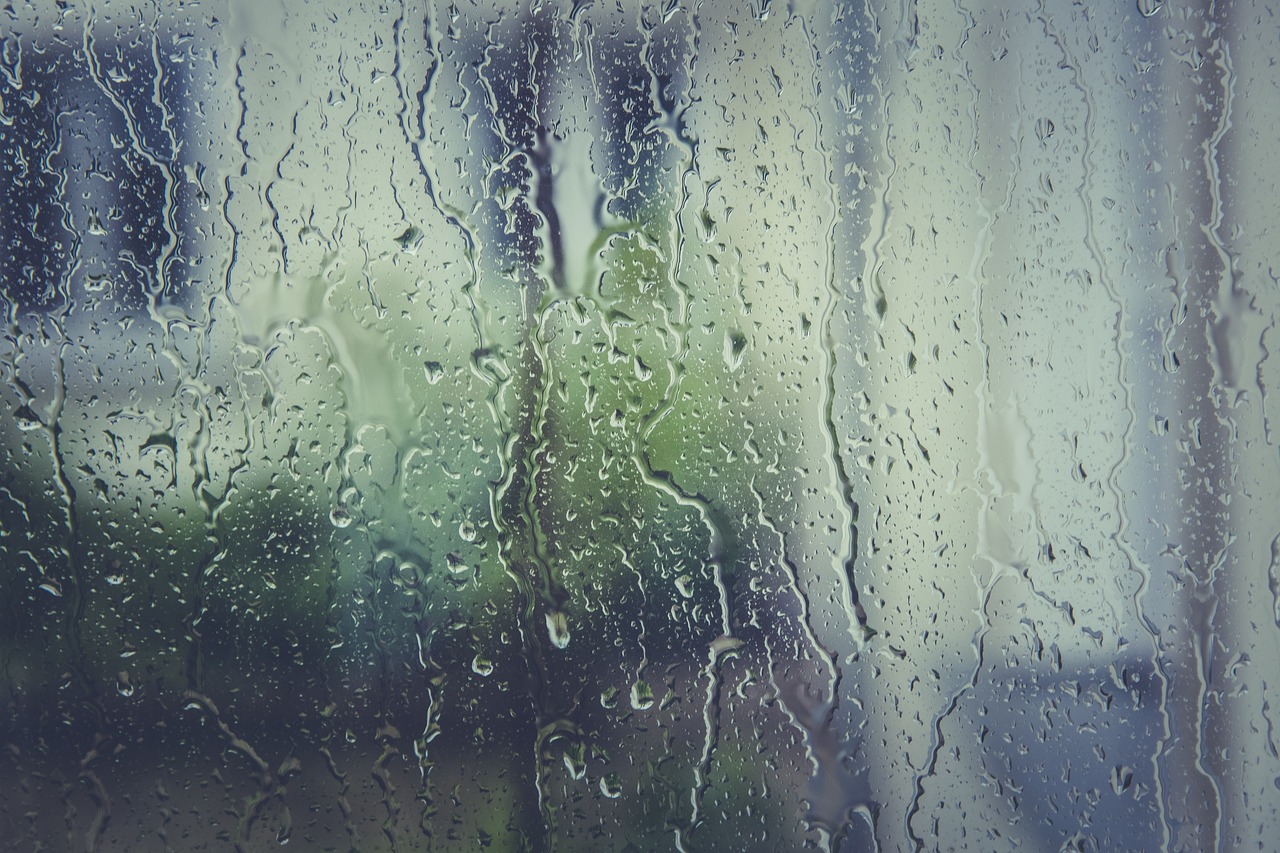
The scorching summer that felt like it would never end may finally be winding down. A cold front has brought rain – and in some areas, severe storms – to much of the state.
Long-awaited fall weather has arrived with highs in the 70s and low 80s. And even cooler weather, minus the rain, should make for a pleasant weekend across the state.
Is it safe to say fall is finally here? Matt Lanza, meteorologist for Space City Weather in Houston, joined the Standard to weigh in. Listen to the interview above or read the transcript below.
This transcript has been edited lightly for clarity:
Texas Standard: Beautiful morning for a lot of Texans – “beautiful” in the sense that many folks woke up to some much-needed rain and others to considerably cooler temperatures in the north after some real storms. What’s the rainfall looked like across the state and can we expect these conditions to last much longer?
Matt Lanza: Yeah, the good news, I guess, is that the heaviest of the rain is pushing south through the state now, should be focused on the Houston area and into South Texas as we go into later this morning. And then by this afternoon and evening, should be down into the valley and then eventually pretty much done at that point.
Let’s talk a little bit about that severe weather up in North Texas and the Panhandle last night. I was following a bit of it online. What did it look like to you? And what about the risk for more severe weather? Has that passed?
Yeah, the risk is pretty much over at this point, with maybe the exception of the Rio Grande Valley, which could see a little bit of some stronger thunderstorms as we go to sleep today.
But yeah, North Texas, certainly a rough night last night. I know that they will be investigating to see if there were any tornadoes that actually happened. But, you know, a lot of lightning, a lot of gusty winds. This is sort of the typical cold front-type stuff that we see.
So I guess it kind of marks a transition point for us a little bit. We haven’t had one of these in a while.
» GET MORE NEWS FROM AROUND THE STATE: Sign up for Texas Standard’s weekly newsletters
Tell us more about this cold front pressing down from the upper Midwest and Canada.
I am thrilled about this.
We are going to see temperatures this weekend starting tomorrow morning, probably cool off a bit in the Panhandle and parts of North Texas. And then the actual front itself pushes through tomorrow and tomorrow night.
Thankfully, it will be a quiet front. So not much with it, but look for overnight lows in the forties in the Panhandle, maybe even a couple thirties in some spots, fifties across much of the rest of the state. Daytime highs in the seventies, low humidity – just really, really nice weather for the majority of the weekend.
Boy, you’re saying a lot of nice things. But as as someone who lives in Texas, I know things can change in, I was going to say a New York minute, but now it’s faster than that. So what’s the prognosis for the remainder of this month? Maybe it’s too early to say, but could we get slammed by another heat wave?
I think the chances of that are very low. Thankfully, it looks like we are going to set up into a pattern where we kind of get fronts.
I don’t know. I don’t want to say that they’re going to be frequent fronts, but we will get fronts intermittently, and that should kind of keep the intensity of the heat down a little bit. And then once you get this first front through, usually, especially when it comes in October, that really puts a damper on how hot it can actually get.
So even when it does warm up again, it’s not going to feel nearly as bad as it did through most of September and in the first couple of days of October.
You say “usually,” but of course, we’re getting used to anomalies. What say you on that front?
Yeah, I mean, it’s been a season of extremes. It feels like it’s been seasons of extremes.
The one thing to watch going into, I think, fall and winter is going to be the El Niño. We’ve got warm water in the Pacific Ocean, so we’ve got El Niño. It looks like it’s going to be strong. That should result in a weather pattern for Texas ultimately. We’ll see if that unfolds exactly how it typically does.
You know, it’s tough to say that anything that has historically been normal is going to behave exactly as we thought it would, but we should be seeing more frequency of rain, I would hope and think, over the next few months.
Matt, this probably goes beyond your ken, but we’ve talked a lot about the severe drought this summer. And I think with the rain, a lot of folks are feeling a sense of relief and perhaps a sense of hope. Can we anticipate more relief over the next few weeks? And what do you think? What sort of effects is this going to have on the drought?
So this is not going to end the drought by any means, but it will certainly help.
You know, we’ve amassed such a rainfall deficit this year that it’s going to take several of these types of weeks to kind of do it. So, you know, the droughts never end quickly or they usually don’t end quickly. If they do, that’s a bad thing because it usually means a flood. But in this case, if we can just keep these fronts coming at a reasonably decent clip, we’ll be good.
You know, we felt people kind of getting sick of the weather most of summer. And it’s been kind of odd, you know, particularly in the Houston area, seeing people root for rain. But here we are and hopefully it continues in a manageable way.