If you live in Texas, there’s a good chance you’ve heard howling winds in the past 24 hours.
The National Weather Service issued a wind advisory for much of the state, from El Paso to San Antonio to Dallas, as a massive storm moves across the United States.
The wind means tornado warnings in South Central Texas and a blizzard in the Panhandle – and temperatures are expected to drop significantly going into this weekend.
Luigi Meccariello, a meteorologist with the National Weather Service based in Amarillo, said the Panhandle got snow in the last 24 hours, but it was hard to measure how much in some places because of the high winds.
“The winds were blowing sideways the entire day,” he said. “Parts of the western Texas Panhandle for sure got about a couple inches (of snow) with wind gusts up over 70 mph. It was quite the windy day for sure. Definitely blizzard conditions.”
» GET MORE NEWS FROM AROUND THE STATE: Sign up for Texas Standard’s weekly newsletters
Meccariello said the Panhandle should be done with winds of that strength, at least for now, though much of the state remains under the wind warning.
Temperatures are expected to go up as the week progresses, followed by a plunge over the weekend.
“After our next system comes through, bringing again another chance for light snow for parts of the Northern Panhandle, we have a chance of seeing some really arctic air coming down into the parts of the state as we go into next week, he said.”
Meccariello said he does not expect this cold snap to be as long or as widespread as the winter freeze in 2021 during which much of the state went without power — though he did say it can be hard to tell from a few days out.
» MORE: How to keep your garden safe and warm during the cold winter months
“This arctic air mass will kind of be more confined to probably portions of West Texas,” he said. “So I’m not sure how far south that extends. It’s still a couple days out, so we’ll see what exactly happens … we’ll be monitoring and updating our forecast accordingly.”
At the moment, Northwest Texas looks like the region that will be most affected by colder temperatures.
“Compared to a couple of years ago where we had sweeping temperatures of below freezing throughout the entire state, it appears Northwest Texas and West Texas might get the coldest of this air mass,” he said. “For example, across the northern Texas Panhandle … there’s a potential that parts of the area may not get to the teens for highs on Monday.”
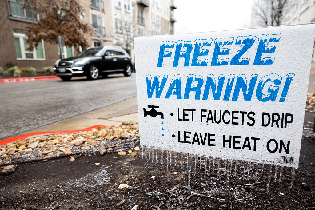
Meccariello recommended preparing by having blankets and food in the house. He stressed the importance of using generators properly.
» MORE: Here’s how Texans can stay prepared for winter storms and other disasters
“Definitely get extra blankets. Take the necessary precautions. If you have any generators, make sure they’re ventilated properly so no carbon monoxide poisoning takes place in case of any power outages,” he said. “We’re not expecting that. But just in case, you never know, with this cold air mass, you always want to be prepared to make sure heat sources are there for you at your disposal when you need them.”
He also recommended limiting time outdoors in below-freezing air and ensuring skin is covered.